
A mapping service with satellite imagery and street views that helps you check a driveway, a street and the route a truck will take.
Google Maps is a mapping service with satellite imagery, street views and distance measurement. It is a handy planning tool for dumpster delivery because you can see the driveway, the street, the trees and the wires from your computer. Homeowners and crews in Nashville use it to share a placement idea, check turning space and send us a link that makes it easy to confirm where the container will sit.
We are an independent roll-off dumpster company and are not affiliated with Google. We use maps as one of several ways to review access, and we still prefer a photo or a short visit for tricky spots. Imagery can be out of date, so we encourage you to confirm what is on the ground before delivery.
Visit the official Google Maps website
See driveways, lots and roofs from above.
Check curbs, wires and trees.
Estimate lengths and widths.
Send a location in seconds.
Helps pick a placement spot.
Basic features are free online.
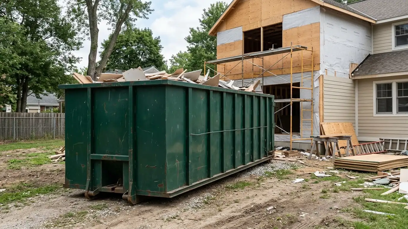 Thirty-Yard DumpsterThirty-yard roll-off dumpster rental for whole-house cleanouts, new construction, additions and large demolition with six-foot walls and lots…Explore
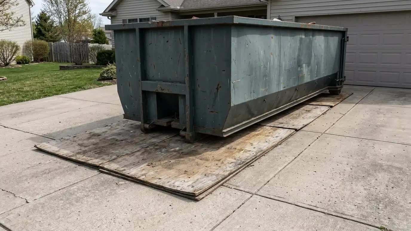 Driveway ProtectionDriveway protection and placement guidance with plywood, pads and smart positioning so a heavy container does not mark…Explore
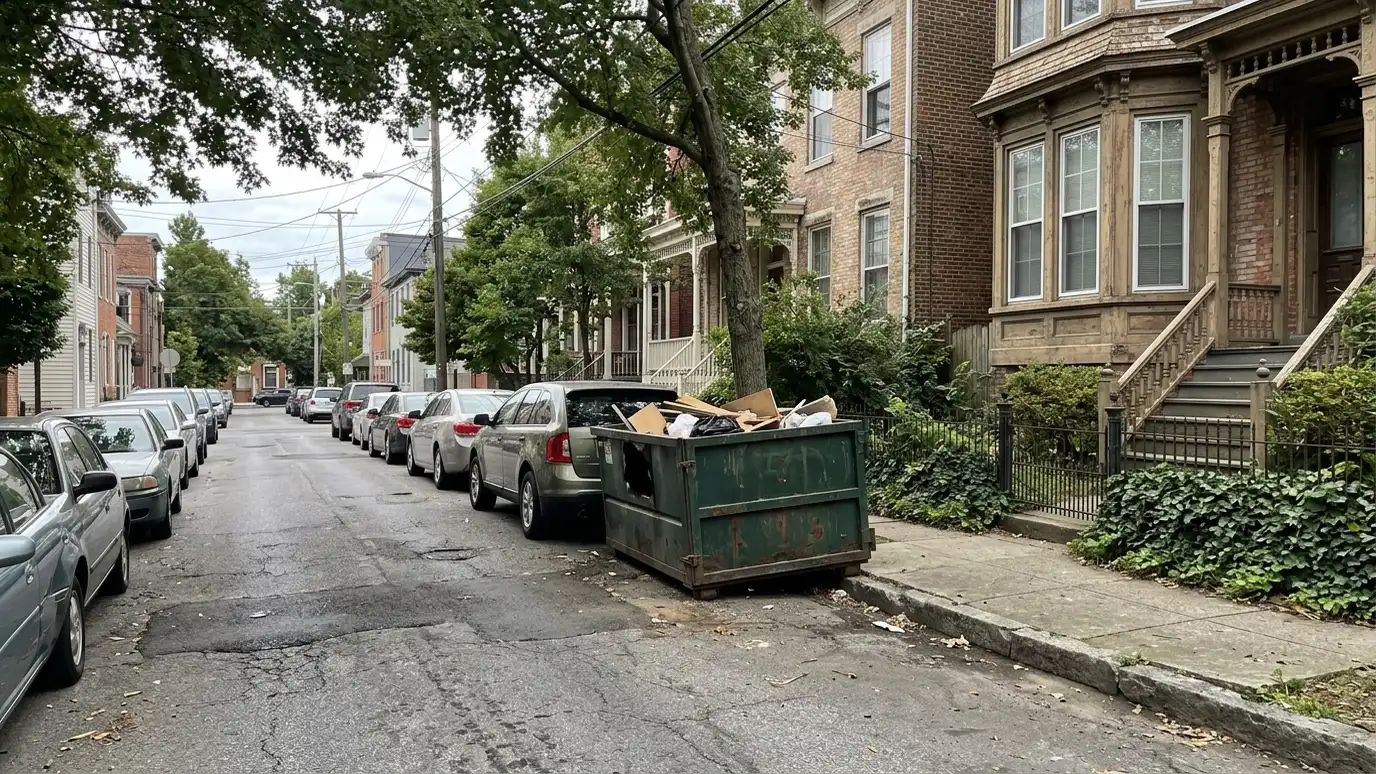 Tight Access DeliveryTight access and narrow street delivery for historic neighborhoods, steep drives and small lots, with compact containers and…Explore
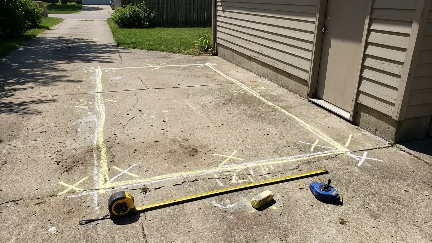 Site Visit and Placement PlanSite visit and placement planning for large or tricky projects, with a look at the driveway, the slope…Explore
Plan your driveway, size a job or ballpark a budget.
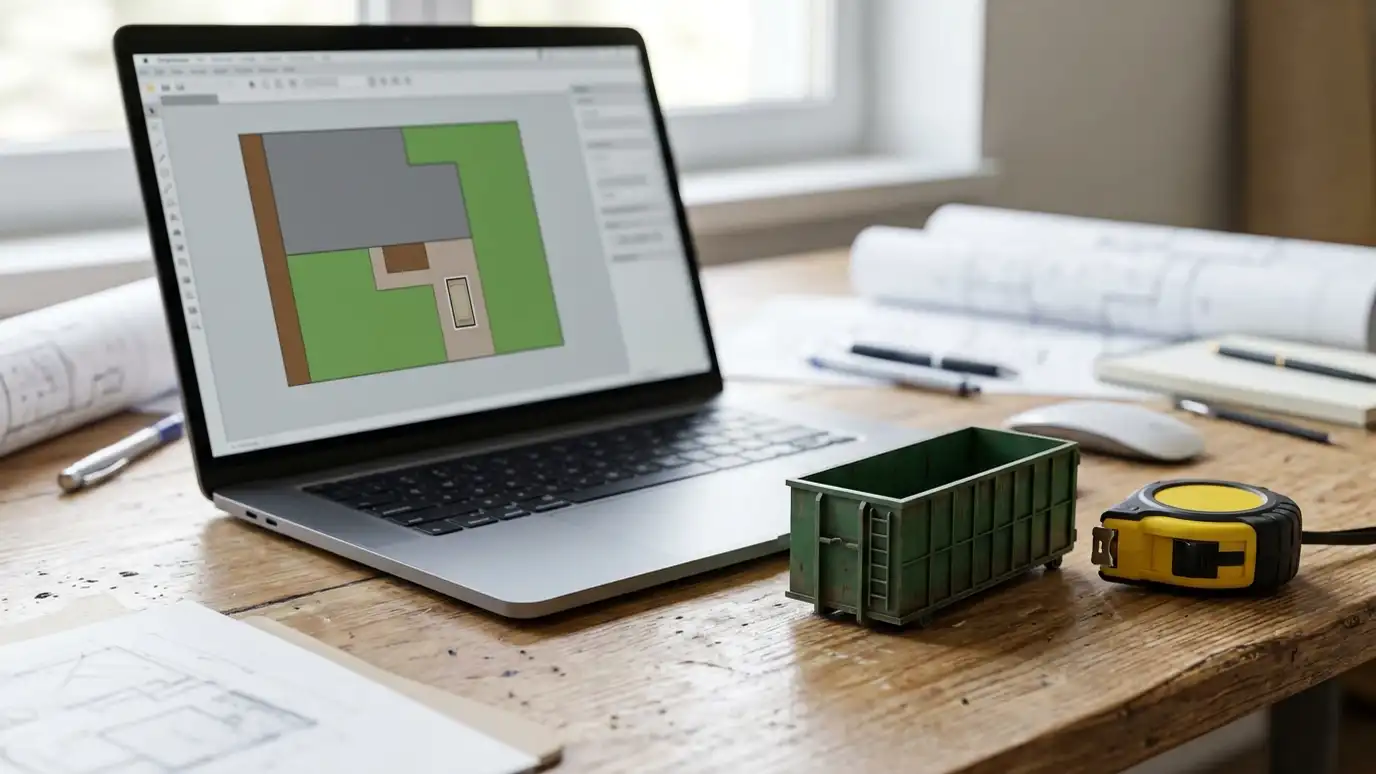 Dumpster Placement StudioDraw your driveway, pick a container size and see a top-down plan with truck clearance, plywood and overhead checks, then send the plan to us.Try it
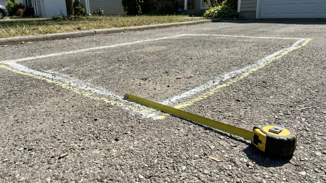 Dumpster Size CalculatorPick your project and its size to see the roll-off size that usually fits, with truck-load estimates and notes on weight and space.Try it
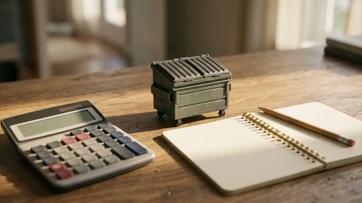 Dumpster Rental Budget PlannerPick a container size, rental period and extras like swaps, permits help and heavy material to see a ballpark planning range. Placeholder values only.Try it
You can get a rough idea, but confirm with a tape measure on site.
Not always. Check what is on the ground before delivery.
No. We are an independent roll-off dumpster company and are not affiliated with Google. Maps are one of several ways we review access.
 ResourceNational Waste & Recycling AssociationA trade association for the private waste and recycling industry that shares news, safety resources and information about…Learn more ResourceSolid Waste Association of North AmericaA professional association for people who work in solid waste management that offers training, technical resources and events.Learn more ResourceConstruction & Demolition Recycling AssociationAn association that promotes recycling of construction and demolition materials and shares information about the industry.Learn more ResourceNational Demolition AssociationA trade association for demolition contractors that shares safety, training and industry information.Learn more
Call us and describe your project. We will recommend a size, check the spot and give you a clear written quote.